lOgaREA
Plans and Prices
Photos
Videos
Editorial
Blog
lOgaREA
Sign In
Sign Up
Sell Images
...
0
All Images
Photos
Editorial
Videos
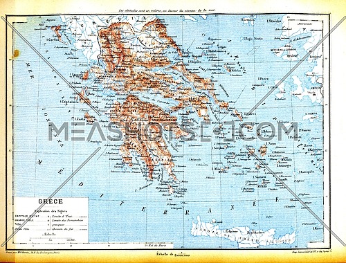
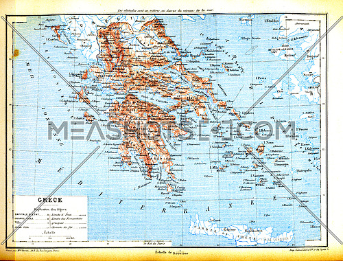
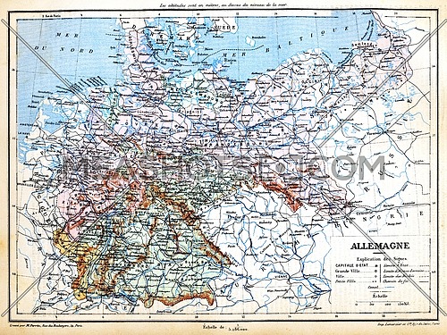
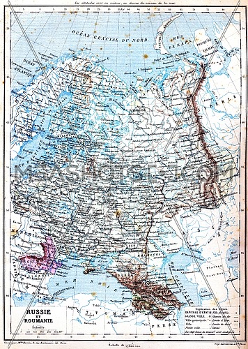
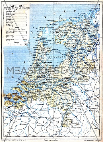
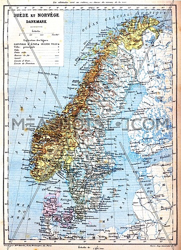
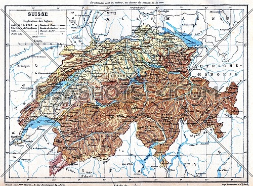
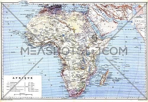
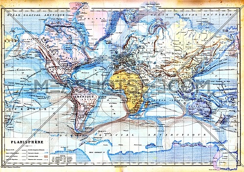
The old planispheric map of Europe with explanation of signs on map.
Description:
The old planispheric map of Europe with explanation of signs on map.
Stock Image ID:
141886
Owner:
Patrick Guenette
Title:
The old planispheric map of Europe - photo
The old planispheric map of Europe with explanation of signs on map.
Resolution
Size
Price
S
867 x 589 px jpg
License: Royalty Free
[More Info]
( 2.9" x 2" @ 300 dpi )
$7.00
M
1735 x 1179 px jpg
License: Royalty Free
[More Info]
( 5.8" x 3.9" @ 300 dpi )
$16.00
L
2930 x 1991 px jpg
License: Royalty Free
[More Info]
( 9.8" x 6.6" @ 300 dpi )
$36.00
XL
6475 x 4399 px jpg
License: Royalty Free
[More Info]
( 21.6" x 14.7" @ 300 dpi )
$48.00
$48.00
New Flexible Plans and Packages
Similar Media
Media Keywords
ancient
antique
area
art
artistic
artwork
atlas
cartographical
cartography
cities
colour
colourful
colours
continent
countries
country
design
diagram
distance
drawing
earth
education
educational
europe
explanation
geographical
latitude
map
names
ocean
old
planet
planisphere
planispheric
planispherical
regions
representation
signs
vintage
visual
world
Share this photo :
Processing
.jpg)
.jpg)

 Processing