lOgaREA
Plans and Prices
Photos
Videos
Editorial
Blog
lOgaREA
Sign In
Sign Up
Sell Images
...
0
All Images
Photos
Editorial
Videos
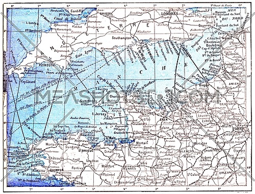
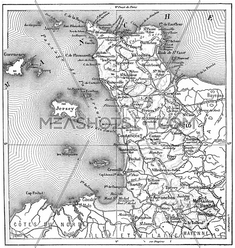
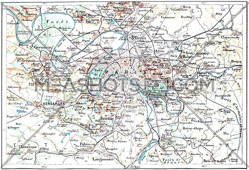
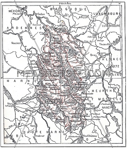
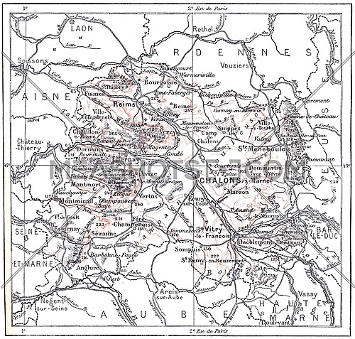
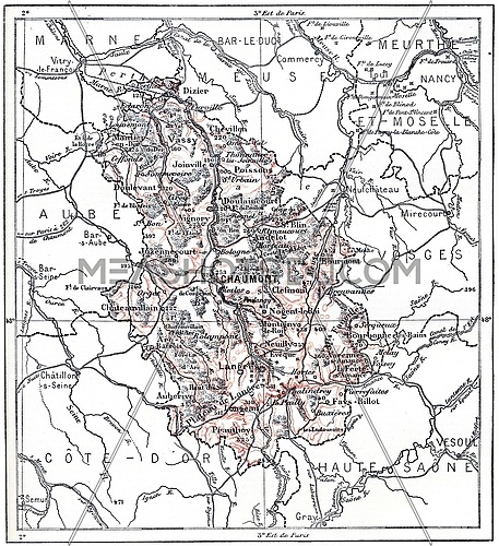
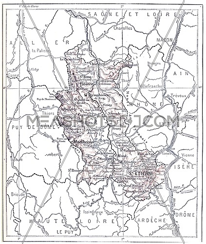
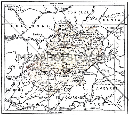
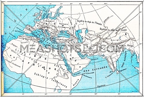
Topographical Map of the Ports of France, vintage engraved illustration. Dictionary of Words and Things - Larive and Fleury - 1895
Description:
Topographical Map of the Ports of France, vintage engraved illustration. Dictionary of Words and Things - Larive and Fleury - 1895
Stock Image ID:
143854
Owner:
Patrick Guenette
Title:
Topographical Map of the Ports of France, vintage engraving - photo
Topographical Map of the Ports of France, vintage engraved illustration. Dictionary of Words and Things - Larive and Fleury - 1895
Resolution
Size
Price
S
508 x 577 px jpg
License: Royalty Free
[More Info]
( 1.7" x 1.9" @ 300 dpi )
$7.00
M
1014 x 1153 px jpg
License: Royalty Free
[More Info]
( 3.4" x 3.8" @ 300 dpi )
$16.00
L
1712 x 1946 px jpg
License: Royalty Free
[More Info]
( 5.7" x 6.5" @ 300 dpi )
$36.00
XL
4398 x 5000 px jpg
License: Royalty Free
[More Info]
( 14.7" x 16.7" @ 300 dpi )
$48.00
$48.00
New Flexible Plans and Packages
Similar Media
Media Keywords
ancient
antique
art
artwork
atlantic
black
boat
channel
conventions
dock
drawing
english
engraved
engraving
etching
europe
european
exploration
france
french
geography
harbor
illustration
manche
map
marine
maritime
mediterranean
navigate
navigation
ocean
old
picture
port
sea
ship
shipping
sign
terminal
topographical
trade
transport
transportation
travel
vector
vessel
vintage
water
wharf
white
Share this photo :
Processing

 Processing