lOgaREA
Plans and Prices
Photos
Videos
Editorial
Blog
lOgaREA
Sign In
Sign Up
Sell Images
...
0
All Images
Photos
Editorial
Videos
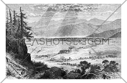
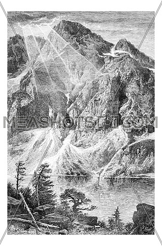
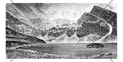
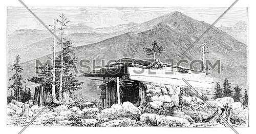
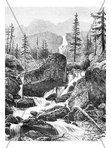
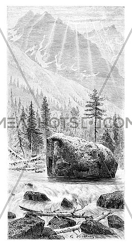
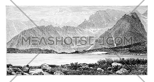
Map of the Tatra Mountain Range, by Dr. Gustave le Bon, vintage engraved illustration. Le Tour du Monde, Travel Journal, 1881
Description:
Map of the Tatra Mountain Range, by Dr. Gustave le Bon, vintage engraved illustration. Le Tour du Monde, Travel Journal, 1881
Stock Image ID:
144922
Owner:
Patrick Guenette
Title:
Map of the Tatra Mountain Range, vintage engraving - photo
Map of the Tatra Mountain Range, by Dr. Gustave le Bon, vintage engraved illustration. Le Tour du Monde, Travel Journal, 1881
Resolution
Size
Price
S
867 x 583 px jpg
License: Royalty Free
[More Info]
( 2.9" x 1.9" @ 300 dpi )
$7.00
M
1735 x 1167 px jpg
License: Royalty Free
[More Info]
( 5.8" x 3.9" @ 300 dpi )
$16.00
L
2930 x 1971 px jpg
License: Royalty Free
[More Info]
( 9.8" x 6.6" @ 300 dpi )
$36.00
XL
8333 x 5606 px jpg
License: Royalty Free
[More Info]
( 27.8" x 18.7" @ 300 dpi )
$48.00
$48.00
New Flexible Plans and Packages
Similar Media
Media Keywords
ancient
anthropologic
antique
art
artwork
atlas
black
border
carpathian
cartography
destination
document
drawing
engraved
engraving
etching
europe
geography
gerlach
gustave le bon
illustration
map
mission
mountain
navigation
old
paper
picture
place
poland
poprad
print
printed
range
rysy
slovakia
tatra
tatras
tourism
travel
vector
vintage
white
world
Share this photo :
Processing


 Processing