Sort By
-
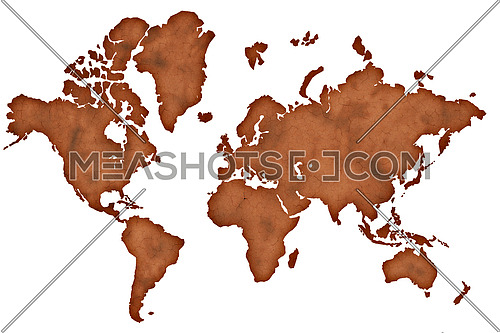
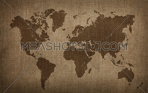
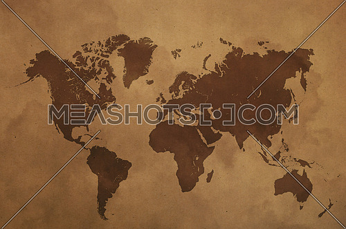
Old vintage darkened brown paper world map isolated on white background
-
-
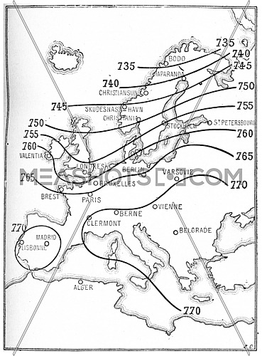
Isobaric map lines, vintage engraved illustration. Dictionary of words and...
-
-
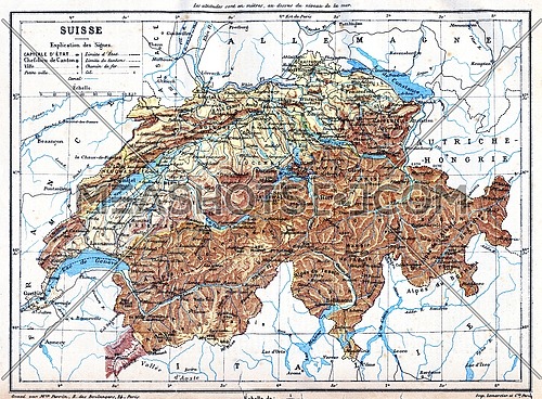
The map of Switzerland with explanation of signs on it.
-
-
Map showing the extent of the area that was covered by the sea since the...
-
-
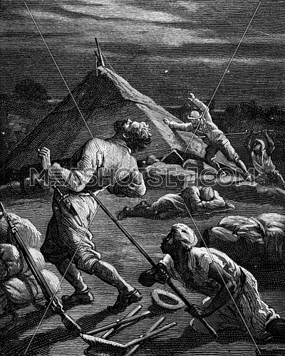
Geographic dramas. Pierre Arnoux and the Kingdom of Shoa, A native struck a...
-
-
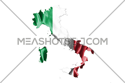
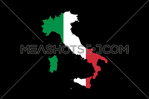
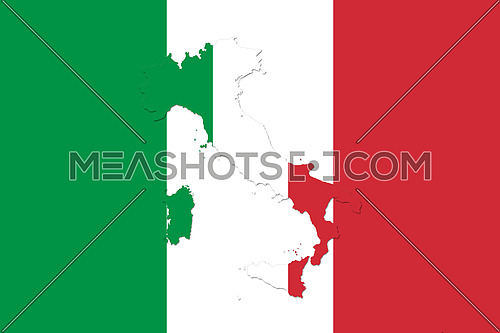
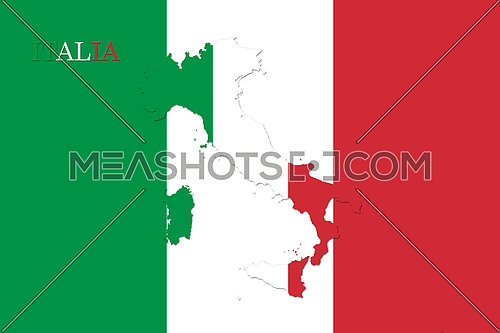
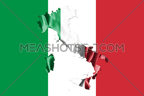
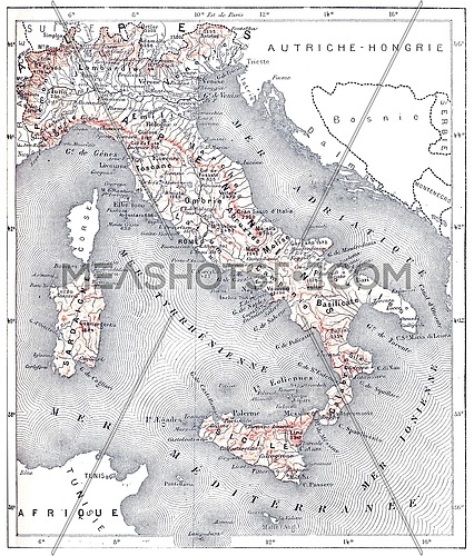
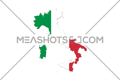
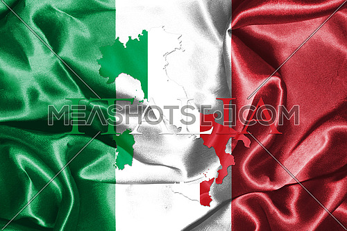
Map of Italy With Italian Flag. Official colors and proportion illustration
-
-
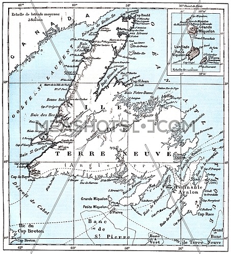
Map of Saint Pierre and Miquelon, vintage engraved illustration. Dictionary...
-
-
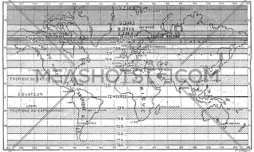
Map of the longest days of summer for different latitudes, vintage engraved...
-
-
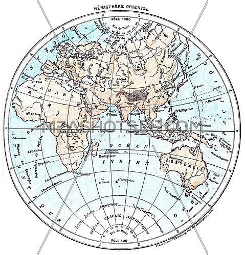
Earth, eastern Hemisphere, vintage engraved illustration. Dictionary of words...
-
-
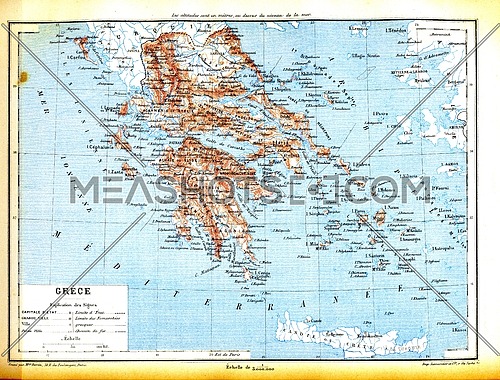
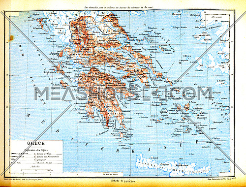
The map of Greece with explanation of signs on map.
-

-
Map of Italy With Italian Flag. Official colors and proportion illustration
-
-
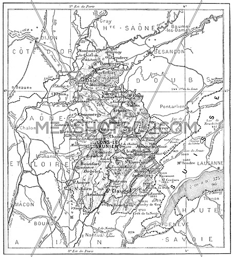
Map of Department of Jura, vintage engraved illustration. Dictionary of words...
-

-
Map of islands of Jutland, Denmark and its colonies, vintage engraved...
-

-
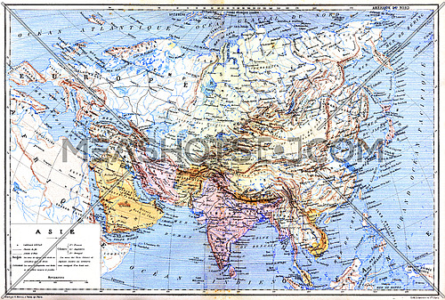
The map of Asia with names of cities and countries on map.
-
-
Map showing active volcanoes across Asia, Europe, Africa and Australia, North...
-
-
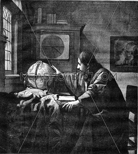
A geographer by Van der Meer of Delft, vintage engraved illustration. Magasin...
-
-
Map of Italy With Italian Flag Isolated On Black Background illustration
-
-
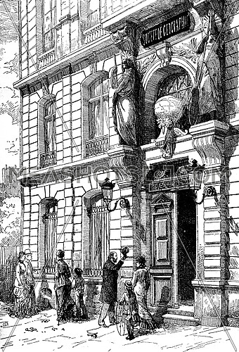
Hotel the Geographical Society of France, vintage engraved illustration....
-
-
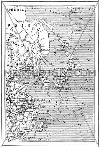
Map of Japan, Korea, China, vintage engraved illustration. Dictionary of...
-
-
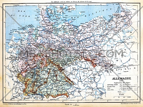
The map of Germany with signs and their explanation.
-

-
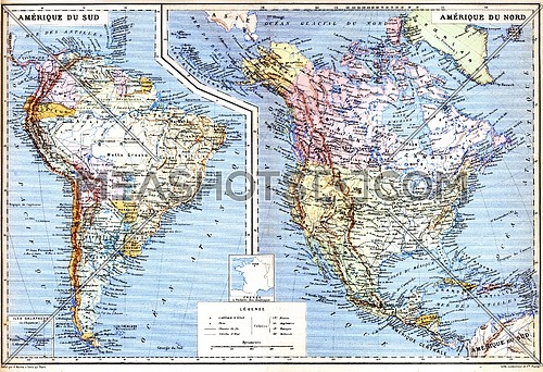
The map of South America with Galapagos Islands.
-
-
The map of North America with names of cities on it.
-
-
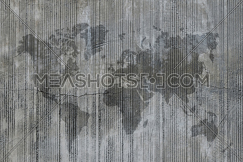
World map stain on cement concrete wall at construction site, background texture
-
-
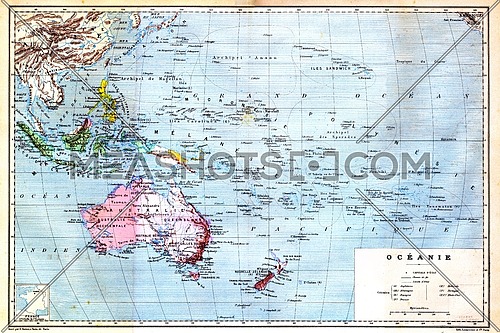
The colourful Map of Oceania with islands circled on the map.
-
-
West Point Island or Albatross Island, during the 1890s, vintage engraving....
-
.jpg)
-
The map of Luxembourg (Belgium) with signs and their explanation.
-
-
Brown world map on old vintage flax linen canvas
-
-
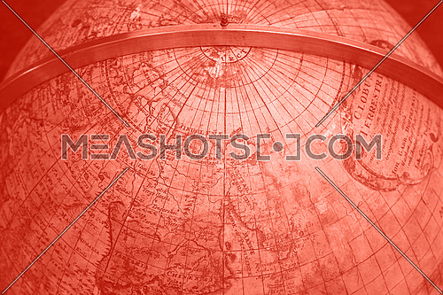
Close up coral pink toned background of old antique vintage earth globe map,...
-
-
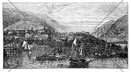
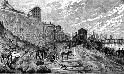
Geographic News. The dock Skeppsbron in Stockholm, the new wharf, vintage...
-
-
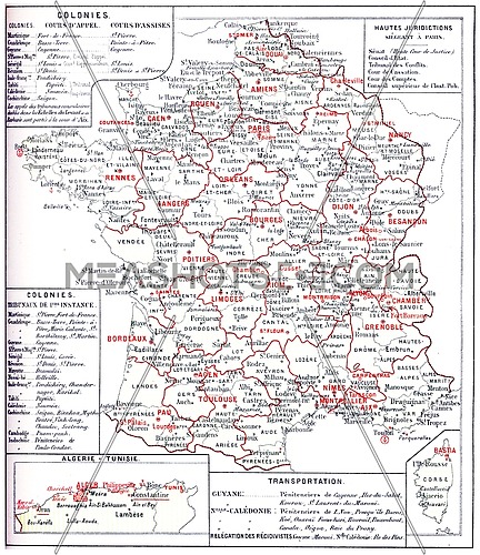
France judiciary map, vintage engraved illustration. Dictionary of words and...
-
-
Brown world map on old vintage darkened grunge kraft paper parchment with stains
-
-
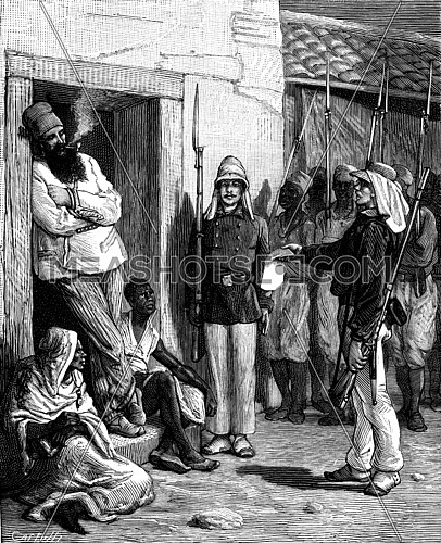
Geographic News. Paul Soleillet Medina, The traveler saw the soldiers arrive...
-
-
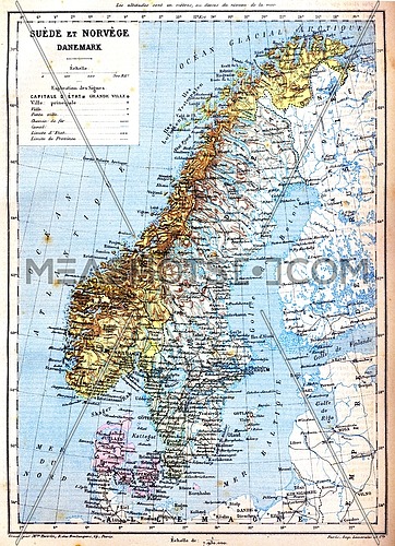
The map of Sweden, Norway and Denmark with explanation of signs on it.
-
-
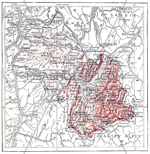
Map of department of Isere, vintage engraved illustration. Dictionary of...
-

-
Kerguelen archipelago, vintage engraved illustration. Dictionary of words and...
-
-
Map of Italy With Italian Flag. Official colors and proportion illustration
-
-
Map of Italy With Italian Flag. Official colors and proportion illustration
-
-
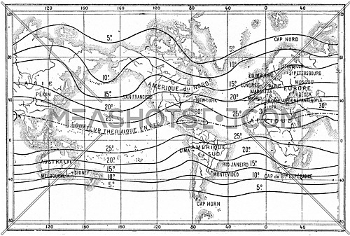
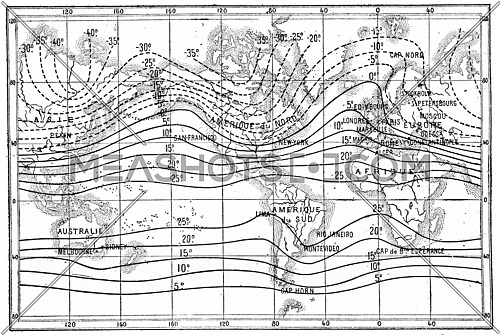
Map of isothermal lines or isotherms of summer, vintage engraved...
-
-
Map of Italy With Italian Flag. Official colors and proportion illustration
-
-
The map of Asia with names of cities and countries on map.
-
-
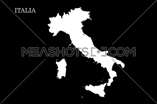
Map of Italy Isolated On Black Background illustration
-
-
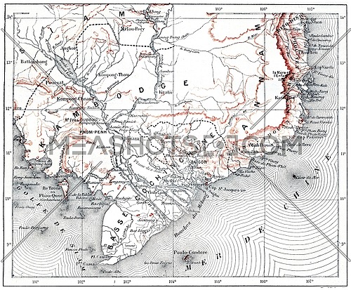
Map of lower Cochinchina and Cambodia, vintage engraved illustration....
-
-
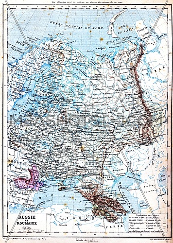
The map of Russia and Romania with explanation of signs on map.
-
-
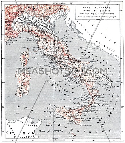
Map of ancient Italy, vintage engraved illustration. Dictionary of words and...
-
-
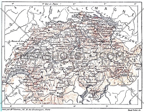
Map of Switzerland, vintage engraved illustration. Dictionary of words and...
-
-
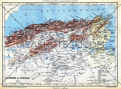
The map of Algeria and Tunisia with names of their cities on it.
-
-
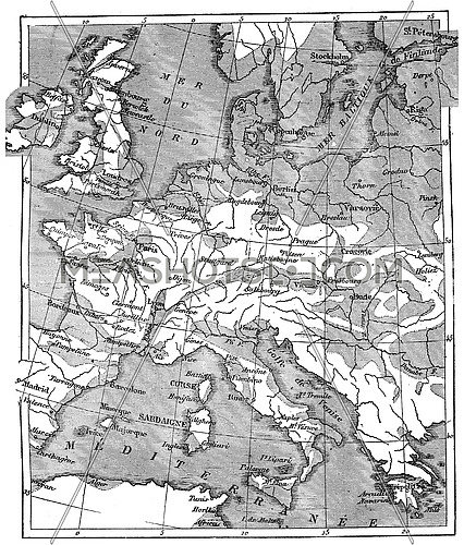
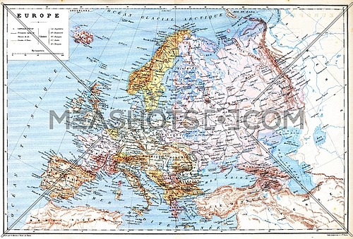
The old planispheric map of Europe with explanation of signs on map.
-
-
Map showing the extent of the area that was covered by the sea since the...
-
-
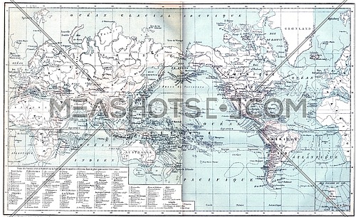
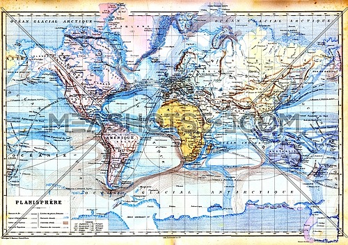
The old map of planisphere with colours in it.
-
-
Map of isothermal lines or isothermals of winter,, vintage engraved...
-
-
The map of Greece with explanation of signs on map.
-
-
Map of modern Italy, vintage engraved illustration. Dictionary of words and...
-
-
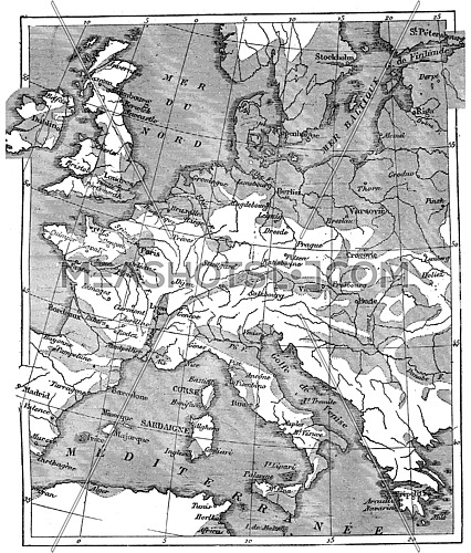
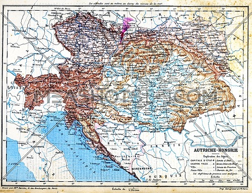
The map of Austria-Hungary with explanation of signs on map.
-
-
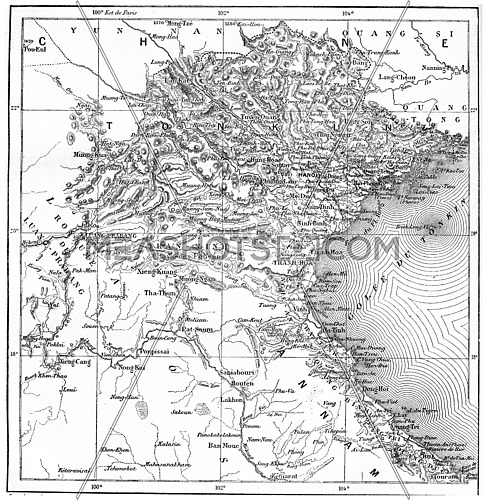
Map of Tonkin or Tongkin or Tonquin or Tongking, vintage engraved...
-
-
Map of Italy With Italian Flag Isolated On White Background illustration
-
-
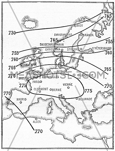
Isobaric map lines, vintage engraved illustration. Dictionary of words and...
-
-
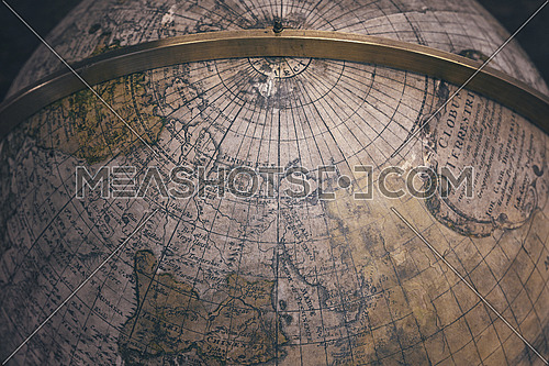
Close up background of old antique vintage earth globe map, high angle view
-
-
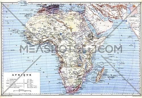
The planispheric map of Africa with names of cities and countries on it.
-
-
Map of Italy With Italian Flag. Official colors and proportion illustration
-
.jpg)
-
The map of Luxembourg (Belgium) with signs and their explanation.
-
 Advanced Search
 Processing