Advanced Search
  • Galleries

  • Contributor

  • Type

  • Orientation

  • License Type

geographic Stock Photos and Stock Footage

96 geographic stock photos are available royalty-free. See geographic stock videos

Sort By

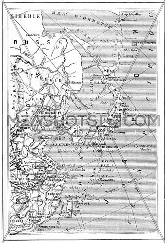
Map of Japan, Korea, China, vintage engraved illustration. Dictionary of words and things - Larive and Fleury - 1895.
  • Map of Japan, Korea, China, vintage engraved illustration. Dictionary of...
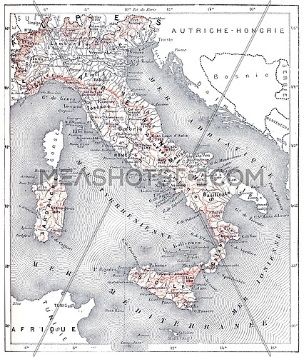
Map of modern Italy, vintage engraved illustration. Dictionary of words and things - Larive and Fleury - 1895.
  • Map of modern Italy, vintage engraved illustration. Dictionary of words and...
West Point Island or Albatross Island, during the 1890s, vintage engraving. Old engraved illustration of West Point Island with moving ships in front.
  • West Point Island or Albatross Island, during the 1890s, vintage engraving....
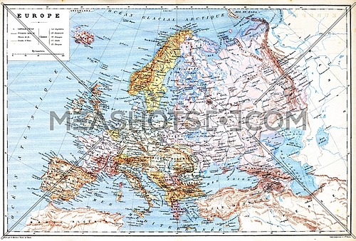
The old planispheric map of Europe with explanation of signs on map.
  • The old planispheric map of Europe with explanation of signs on map.
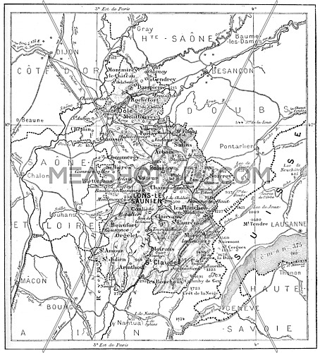
Map of Department of Jura, vintage engraved illustration. Dictionary of words and things - Larive and Fleury - 1895.
  • Map of Department of Jura, vintage engraved illustration. Dictionary of words...
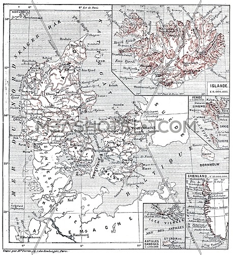
Map of islands of Jutland, Denmark and its colonies, vintage engraved illustration. Dictionary of words and things - Larive and Fleury - 1895.
  • Map of islands of Jutland, Denmark and its colonies, vintage engraved...
Brown world map on old vintage darkened grunge kraft paper parchment with stains
  • Brown world map on old vintage darkened grunge kraft paper parchment with stains
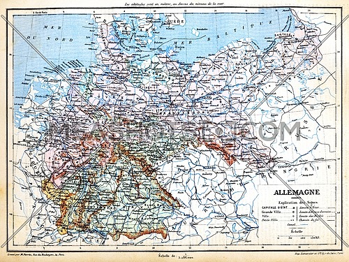
The map of Germany with signs and their explanation.
  • The map of Germany with signs and their explanation.
Close up background of old antique vintage earth globe map, high angle view
  • Close up background of old antique vintage earth globe map, high angle view
Map of Italy Isolated On Black Background  illustration
  • Map of Italy Isolated On Black Background illustration
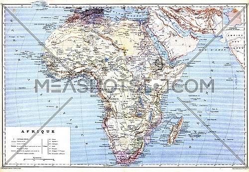
The planispheric map of Africa with names of cities and countries on it.
  • The planispheric map of Africa with names of cities and countries on it.
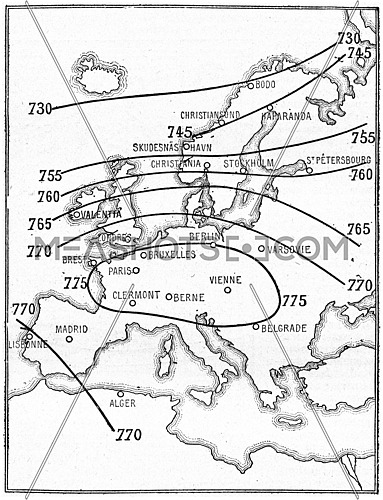
Isobaric map lines, vintage engraved illustration. Dictionary of words and things - Larive and Fleury - 1895.
  • Isobaric map lines, vintage engraved illustration. Dictionary of words and...
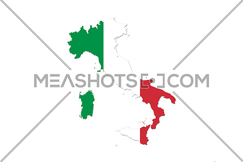
Map of Italy With Italian Flag. Official colors and proportion illustration
  • Map of Italy With Italian Flag. Official colors and proportion illustration
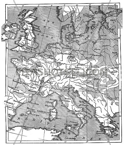
Map showing the extent of the area that was covered by the sea since the beginning of the Eocene period, vintage engraved illustration. Earth before man – 1886.
  • Map showing the extent of the area that was covered by the sea since the...
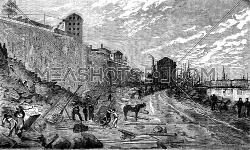
Geographic News. The dock Skeppsbron in Stockholm, the new wharf, vintage engraved illustration. Journal des Voyage, Travel Journal, (1880-81).
  • Geographic News. The dock Skeppsbron in Stockholm, the new wharf, vintage...
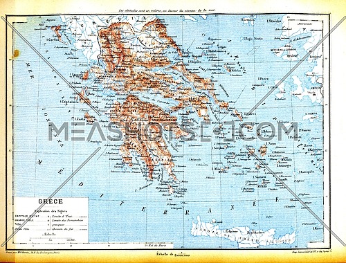
The map of Greece with explanation of signs on map.
  • The map of Greece with explanation of signs on map.
The map of Luxembourg (Belgium) with signs and their explanation.
  • The map of Luxembourg (Belgium) with signs and their explanation.
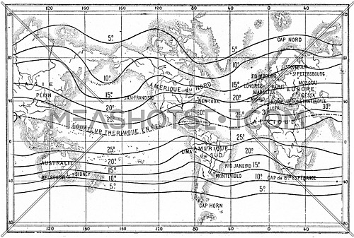
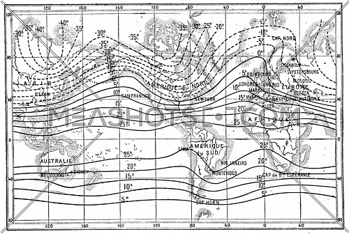
Map of isothermal lines or isotherms of summer, vintage engraved illustration. Dictionary of words and things - Larive and Fleury - 1895.
  • Map of isothermal lines or isotherms of summer, vintage engraved...
Hotel the Geographical Society of France, vintage engraved illustration. Journal des Voyages, Travel Journal, (1879-80).
  • Hotel the Geographical Society of France, vintage engraved illustration....
Map of Italy With Italian Flag. Official colors and proportion illustration
  • Map of Italy With Italian Flag. Official colors and proportion illustration
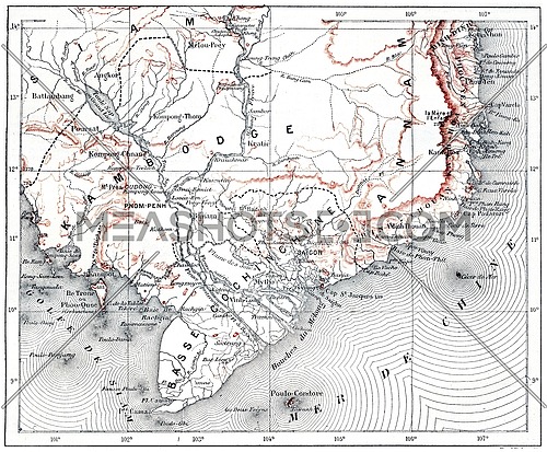
Map of lower Cochinchina and Cambodia, vintage engraved illustration. Dictionary of words and things - Larive and Fleury - 1895.
  • Map of lower Cochinchina and Cambodia, vintage engraved illustration....
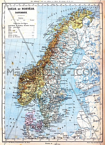
The map of Sweden, Norway and Denmark with explanation of signs on it.
  • The map of Sweden, Norway and Denmark with explanation of signs on it.
The map of Greece with explanation of signs on map.
  • The map of Greece with explanation of signs on map.
Map of Italy With Italian Flag. Official colors and proportion illustration
  • Map of Italy With Italian Flag. Official colors and proportion illustration
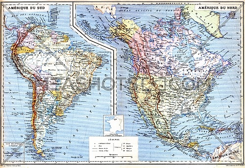
The map of South America with Galapagos Islands.
  • The map of South America with Galapagos Islands.
Map of Italy With Italian Flag Isolated On White Background  illustration
  • Map of Italy With Italian Flag Isolated On White Background illustration
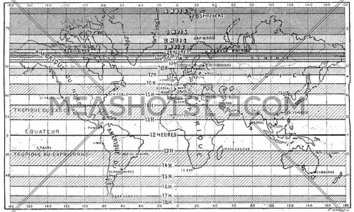
Map of the longest days of summer for different latitudes,  vintage engraved illustration. Dictionary of words and things - Larive and Fleury - 1895.
  • Map of the longest days of summer for different latitudes, vintage engraved...
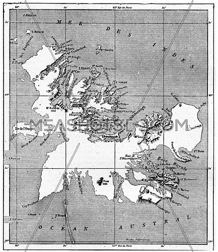
Kerguelen archipelago, vintage engraved illustration. Dictionary of words and things - Larive and Fleury - 1895.
  • Kerguelen archipelago, vintage engraved illustration. Dictionary of words and...
Map of Italy With Italian Flag. Official colors and proportion illustration
  • Map of Italy With Italian Flag. Official colors and proportion illustration
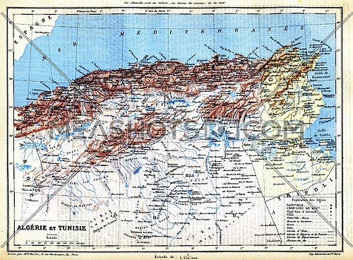
The map of Algeria and Tunisia with names of their cities on it.
  • The map of Algeria and Tunisia with names of their cities on it.
Map of isothermal lines or isothermals of winter,, vintage engraved illustration. Dictionary of words and things - Larive and Fleury - 1895.
  • Map of isothermal lines or isothermals of winter,, vintage engraved...
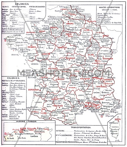
France judiciary map, vintage engraved illustration. Dictionary of words and things - Larive and Fleury - 1895.
  • France judiciary map, vintage engraved illustration. Dictionary of words and...
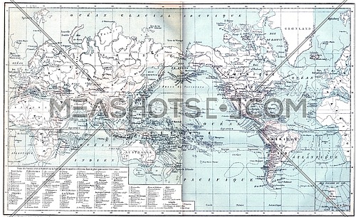
Map showing active volcanoes across Asia, Europe, Africa and Australia, North and South America, vintage engraved illustration. Dictionary of words and things - Larive and Fleury - 1895.
  • Map showing active volcanoes across Asia, Europe, Africa and Australia, North...
Map of Italy With Italian Flag. Official colors and proportion illustration
  • Map of Italy With Italian Flag. Official colors and proportion illustration
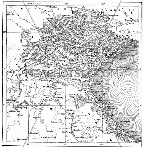
Map of Tonkin or Tongkin or Tonquin or Tongking, vintage engraved illustration. Dictionary of words and things - Larive and Fleury - 1895.
  • Map of Tonkin or Tongkin or Tonquin or Tongking, vintage engraved...
Old vintage darkened brown paper world map isolated on white background
  • Old vintage darkened brown paper world map isolated on white background
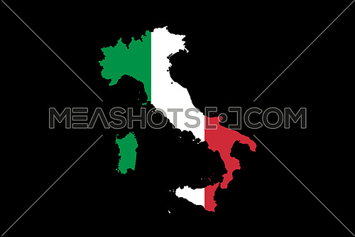
Map of Italy With Italian Flag Isolated On Black Background  illustration
  • Map of Italy With Italian Flag Isolated On Black Background illustration
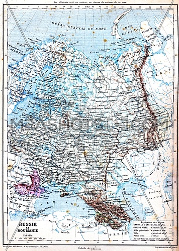
The map of Russia and Romania with explanation of signs on map.
  • The map of Russia and Romania with explanation of signs on map.
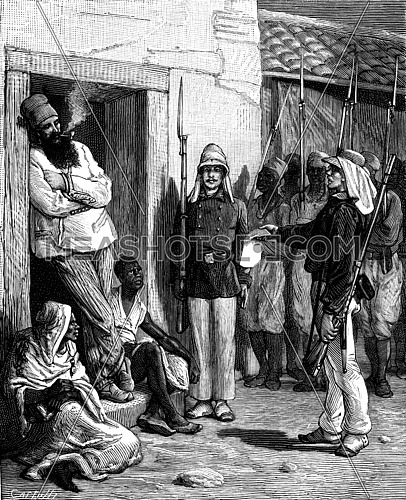
Geographic News. Paul Soleillet Medina, The traveler saw the soldiers arrive without emotion, vintage engraved illustration. Journal des Voyage, Travel Journal, (1880-81).
  • Geographic News. Paul Soleillet Medina, The traveler saw the soldiers arrive...
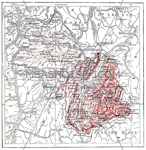
Map of department of Isere, vintage engraved illustration. Dictionary of words and things - Larive and Fleury - 1895.
  • Map of department of Isere, vintage engraved illustration. Dictionary of...
Close up coral pink toned background of old antique vintage earth globe map, high angle view
  • Close up coral pink toned background of old antique vintage earth globe map,...
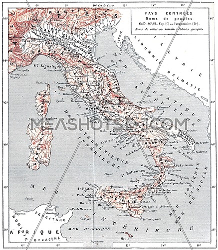
Map of ancient Italy, vintage engraved illustration. Dictionary of words and things - Larive and Fleury - 1895.
  • Map of ancient Italy, vintage engraved illustration. Dictionary of words and...
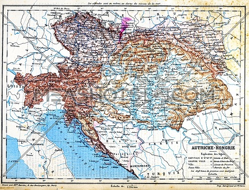
The map of Austria-Hungary with explanation of signs on map.
  • The map of Austria-Hungary with explanation of signs on map.
World map stain on cement concrete wall at construction site, background texture
  • World map stain on cement concrete wall at construction site, background texture
Brown world map on old vintage flax linen canvas
  • Brown world map on old vintage flax linen canvas
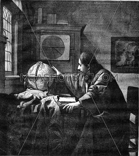
A geographer by Van der Meer of Delft, vintage engraved illustration. Magasin Pittoresque 1876.
  • A geographer by Van der Meer of Delft, vintage engraved illustration. Magasin...
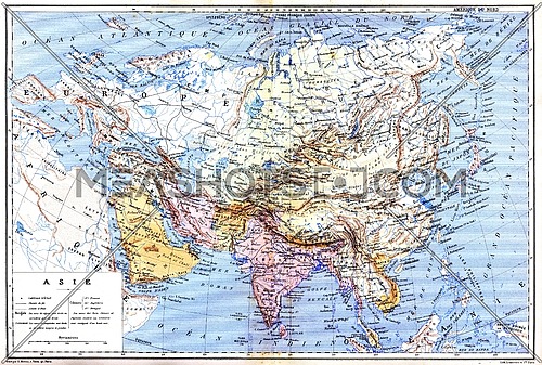
The map of Asia with names of cities and countries on map.
  • The map of Asia with names of cities and countries on map.
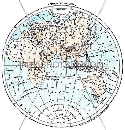
Earth, eastern Hemisphere, vintage engraved illustration. Dictionary of words and things - Larive and Fleury - 1895.
  • Earth, eastern Hemisphere, vintage engraved illustration. Dictionary of words...
Isobaric map lines, vintage engraved illustration. Dictionary of words and things - Larive and Fleury - 1895.
  • Isobaric map lines, vintage engraved illustration. Dictionary of words and...
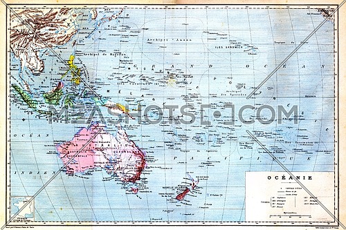
The colourful Map of Oceania with islands circled on the map.
  • The colourful Map of Oceania with islands circled on the map.
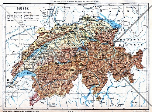
The map of Switzerland with explanation of signs on it.
  • The map of Switzerland with explanation of signs on it.
Map of Italy With Italian Flag. Official colors and proportion illustration
  • Map of Italy With Italian Flag. Official colors and proportion illustration
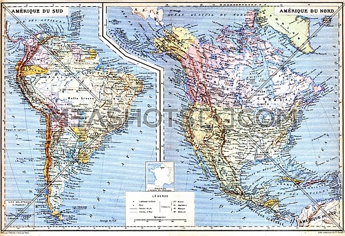
The map of North America with names of cities on it.
  • The map of North America with names of cities on it.
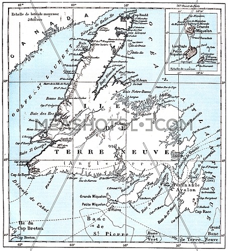
Map of Saint Pierre and Miquelon, vintage engraved illustration. Dictionary of words and things - Larive and Fleury - 1895.
  • Map of Saint Pierre and Miquelon, vintage engraved illustration. Dictionary...
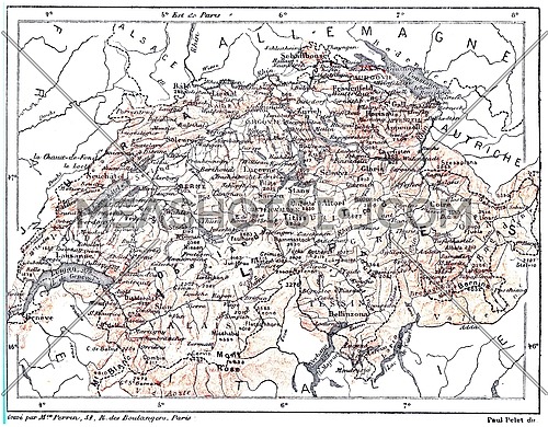
Map of Switzerland,  vintage engraved illustration. Dictionary of words and things - Larive and Fleury - 1895.
  • Map of Switzerland, vintage engraved illustration. Dictionary of words and...
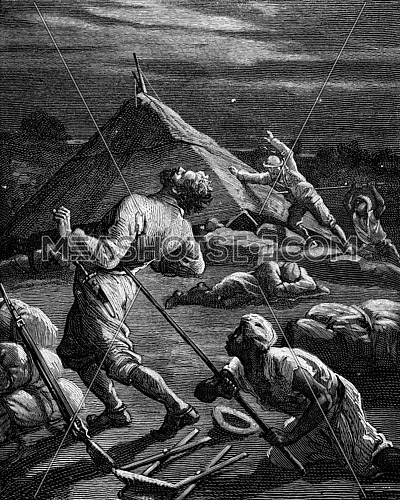
Geographic dramas. Pierre Arnoux and the Kingdom of Shoa, A native struck a spear, vintage engraved illustration. Journal des Voyage, Travel Journal, (1880-81).
  • Geographic dramas. Pierre Arnoux and the Kingdom of Shoa, A native struck a...
The map of Asia with names of cities and countries on map.
  • The map of Asia with names of cities and countries on map.
The map of Luxembourg (Belgium) with signs and their explanation.
  • The map of Luxembourg (Belgium) with signs and their explanation.
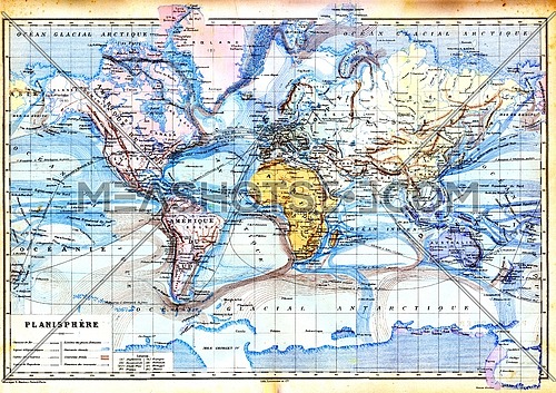
The old map of planisphere with colours in it.
  • The old map of planisphere with colours in it.
Map showing the extent of the area that was covered by the sea since the beginning of the Eocene period, vintage engraved illustration. Earth before man – 1886.
  • Map showing the extent of the area that was covered by the sea since the...